Farmers are using Geographic Information System (GIS) technology and satellite imagery more and more for land management and monitoring. Here are some significant applications of these technologies:
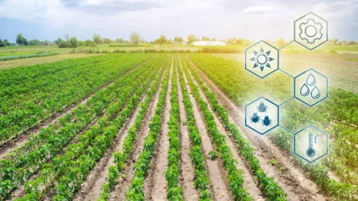
Crop monitoring and yield estimation are made possible by satellite imagery, which gives farmers a bird’s-eye perspective of their fields and enables them to track crop development, identify stress factors, and calculate yields. Farmers can spot changes in crop health, nutritional deficits, pest infestations, and disease outbreaks by examining satellite photos. They can use this knowledge to make educated decisions about irrigation, fertilizer use, and pest control, which results in more effective resource management and higher crop output.
GIS and satellite imagery are essential components of precision agriculture techniques. Farmers can improve yields by combining information from satellite pictures, soil sensors, and other sources.
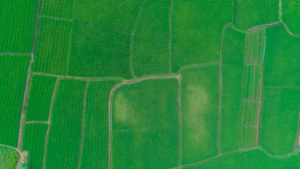
Crop Rotation and Land Use Planning: GIS and satellite imagery help with crop rotation and land use planning techniques. Farmers can evaluate the viability of various regions of their property for particular crops based on criteria like soil type, terrain, and drainage by analyzing historical and current satellite pictures. In order to reduce disease pressure, nitrogen depletion, and soil erosion while increasing yields and maintaining soil health, farmers can use GIS technologies to construct the best crop rotation schedules.
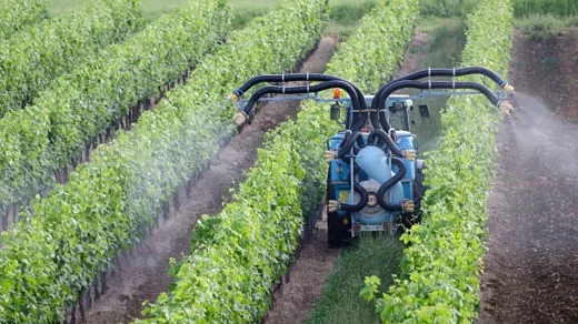
Irrigation management: GIS and satellite-based data are useful resources for enhancing irrigation procedures. Farmers may determine the amount of water crops will need and keep track of the soil moisture levels in their fields by combining satellite photography, weather information, and evapotranspiration models. This knowledge enables them to more accurately plan irrigation, preventing under- or over-irrigation, minimizing water waste.