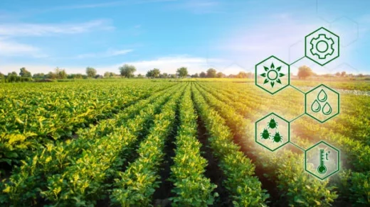
Field Mapping and Surveying: Farmers can precisely map and survey their fields using Global navigation satellite system (GNSS) receivers installed on farm equipment or portable devices. Farmers can detect areas with changes in soil fertility or topography, construct accurate field border maps, and create digital field maps for precision management by gathering exact location data.
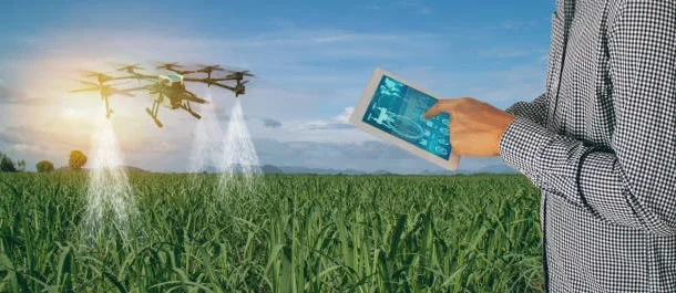
Precision Guidance and Auto-Steering: With the help of Global navigation satellite system (GNSS) based guidance systems, farmers may precisely direct their agricultural equipment along pre-determined courses throughout the fields. This minimises input wastage, guarantees precise row spacing, prevents overlaps or gaps during sowing, spraying, or fertilising activities. Agricultural equipment’s location and direction can be managed automatically by auto-steering systems, allowing farmers to concentrate on other duties while maintaining accurate navigation.
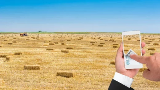
Yield Monitoring and Mapping: As harvesting equipment moves through the field, GNSS-enabled yield monitoring devices gather real-time data on crop production. Farmers can produce yield maps that display the spatial diversity in crop performance by fusing yield data with exact location data. These maps aid in the analysis of yield patterns over time, the identification of locations with high or low yield, and the formulation of site-specific management strategies.
Global navigation satellite system (GNSS) technology can be utilised to improve variable rate irrigation techniques in precision agriculture. Aerial photography or soil moisture sensors combined with GNSS positioning can be used by farmers to identify differing irrigation needs for different parts of the field. This makes it possible to use variable rate irrigation, in which water is dispersed precisely in response to crop water requirements, soil moisture levels, and topographic factors.