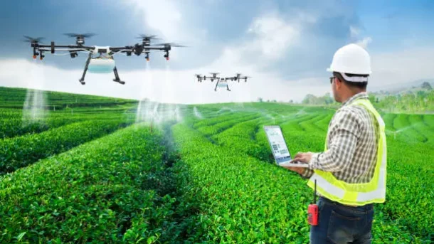
Aerial imaging and mapping: Farmers can construct precise maps of their property using high-resolution aerial photos taken by drones with cameras or sensors. With the help of this data, targeted interventions and precision agriculture techniques may be carried out. They also reveal important insights into crop health, growth trends, and differences within the field.
Drones can regularly fly over crops to obtain visual and multispectral data as part of crop monitoring and health assessments. this data may be analysed to monitor crop health and find early indications of stress, nutrient deficiency, illness, or insect infestation. Farmers may minimise crop losses, allocate resources more efficiently, and take necessary action with the aid of prompt detection.
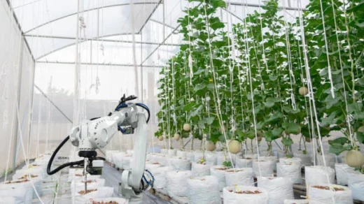
Agricultural drones allow farmers to monitor crop and livestock conditions from the air to keep watch for potential problems and help optimize field management. There are several functions that farmers and other agribusiness owners can use agricultural drone services for, including:
- Land imaging
- Surveying topography and boundaries
- Soil monitoring
- Livestock movement and counting
- Irrigation monitoring
- Spraying needs
- Collecting soil and water samples
- Troubleshooting