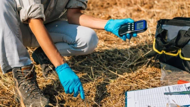
Imaging and spectroscopy: For the examination of soil, spectroscopic methods like infrared spectroscopy and hyperspectral imaging are becoming more and more popular. These methods examine the light reflected or emitted from soil samples to determine soil health, chemical composition, and amount of organic matter. Imaging technology can deliver spatially resolved data on soil characteristics, enabling tailored actions depending on particular soil circumstances.
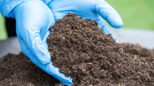
Microbial analysis and DNA sequencing techniques are being utilised to evaluate the microbial populations in soil and their roles. These methods offer information on the variety and activity of soil microbes, which are essential for nutrient cycling, the breakdown of organic materials, and plant health. Farmers can choose the best soil management practises and maximise microbial activity for better soil health’s by having a thorough grasp of the microbial communities in their soils.
Satellite images and remote sensing technology, such as aerial drones, can provide important information about the overall health of the soil. Satellites with multispectral or hyperspectral sensors are able to collect information on the characteristics of the soil, vegetation indices, and land cover. This information can be analysed to create maps of the health of the soil, find signs of soil deterioration, and track changes over time. Aerial drones with sensors and cameras can give localised areas with high-resolution, precise soil information, enabling focused soil management techniques.